Britain will be hotter than Monaco tomorrow with temperatures expected to hit 24C for "summer's final flourish".
A plume of hot air wafting its way from Spain could see thousands of Brits rush to beaches and parks as experts forecast the hottest day since the August Bank Holiday weekend.
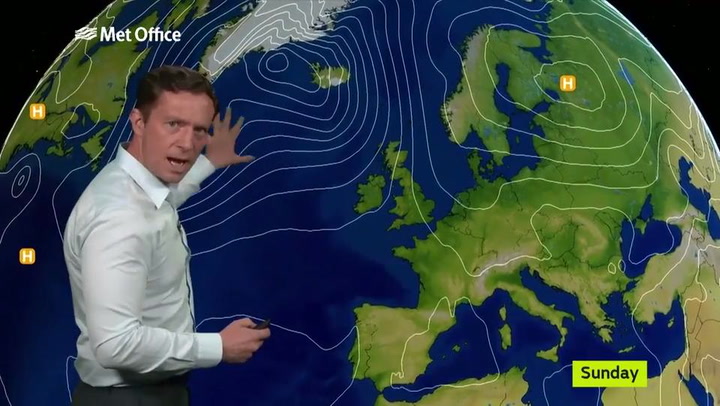
But the warmer climes are not set to last as forecasters warned remnants from Hurricane Maria could see 95mph gusts hit the UK in days.
The Met Office confirmed Britain is on course to be hotter than Monaco with temperatures to expected to reach up to 24C - well above the average for this time of year- and 3C warmer than the mega-rich principality.
Weather Outlook forecaster Brian Gaze said: “The next few days are summer’s final flourish.”
Met Office Forecaster Mark Wilson said: "24C is a bit on the high side but there is a possibility it could reach that. We are looking at temperatures between 21C and 23C in the south east.
"It is warmer than average."
Tens of thousands could flock to Brighton, Bournemouth and other beaches which could cause major traffic jams on coastal routes including the A23 to Brighton and A31 to Dorset.
Tesco is expected to sell 350,000 packets of sausages, 2million bottles of beer and 1.5million bottles of wine this weekend as Brits enjoy autumn barbecues.
MeteoGroup forecaster George Goodfellow said: “Temperatures are good for late September, especially after recent cool weather.”
The fresh forecast comes after experts predicted a five-day Indian Summer will make Britain hotter than Barcelona.
But fears have already turned to the following weekend as the threat from Hurricane Maria looms over Britain.
Its remnants will threaten to hit the UK next, said both The Weather Company and AccuWeather, the world’s biggest and second biggest commercial forecasters.
The Met Office said Maria could get wrapped in an Atlantic low pressure area bringing “wet and windy” weather to Britain.
Maximum wind gusts from 39mph up to 95mph arriving in Britain were shown on a dramatic map showing Maria’s forecast track towards the UK.
The Weather Company warned Britain of fierce winds and deluges.
Tropical storm impacts are much lower in the UK than the Caribbean – but still damaging.
Previous hurricane-based storms which hammered Britain include August 2014’s Hurricane Bertha, with 94mph gusts and floods, and September 2011’s Hurricane Katia, as 98mph gusts caused one death and widespread travel chaos.
Met Office forecaster Rachael Adshead said: “It turns more unsettled from Thursday and some of Maria’s warm air may get trapped in a low-pressure system coming across the Atlantic later in the week.
“Wet and windy weather is expected. We’re keeping an eye on what happens with Maria.”
Leon Brown, head of meteorological operations at The Weather Channel, owned by The Weather Company, said: “It looks like the remnants and energy from Maria will be caught in the jet stream and swing towards the UK as a deep depression from next Saturday.
“The worst case would be strong winds and heavy rain.”
AccuWeather forecaster Tyler Roys said: “There is a chance Maria will get into the jet stream and move across the Atlantic to impact the British Isles or western Europe from Friday onwards.”